
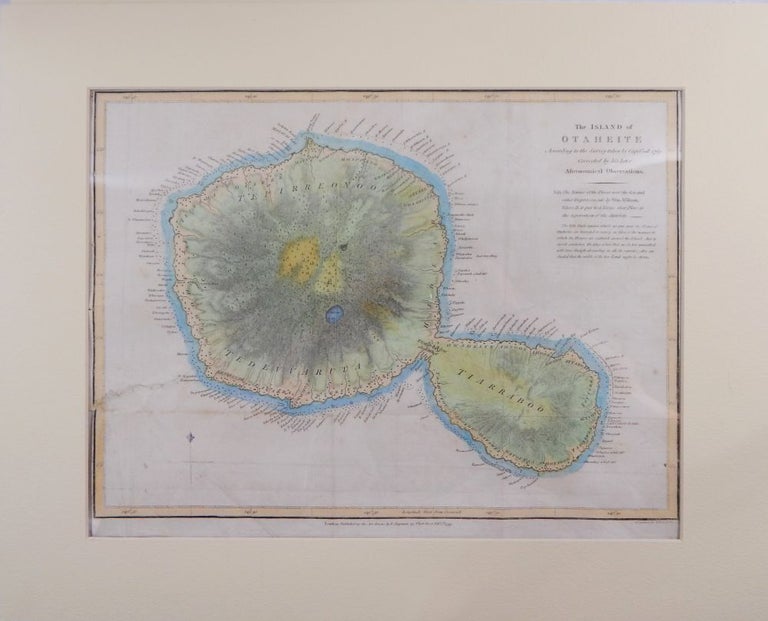
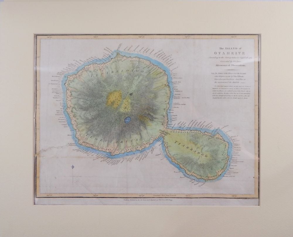
The Island of Otaheite, According to the Survey taken by Cap. Cook 1769. Corrected by his later Astronomical Observations
Lonbdon: T. Chapman, 1799. Map. Very good. Item #19378
Single page, engraved,12 by 16 inches, the image being 11 by 15 inches, and matter in a 16 by 20 inch mat. Engraved by T. Foot. Later hand-coloring. Several flattened folds (as published), closed marginal tear affecting the outside border but stopping short of the image of the island, else a very good copy.
Price: $400.00
See all items by James Cook, Tahiti