
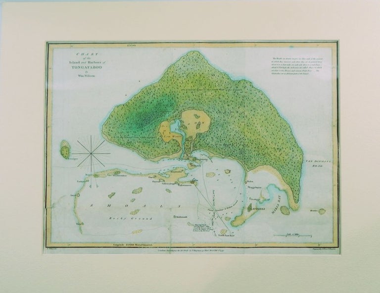
Chart of the Island and Harbour of Tongataboo
Lonbdon: T. Chapman, 1799. Map. Very good. Item #19377
Single page, engraved,12 by 16 inches, the image being 11 by 15 inches, and matter in a 16 by 20 inch mat. Engraved by T. Foot. Later hand-coloring. Several flattened folds (as published), two closed marginal tears affecting the outside border but not touching the image, trace of soil, else a very good copy.
Price: $350.00
See all items by Tonga, William WIlson